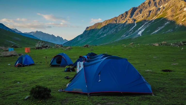
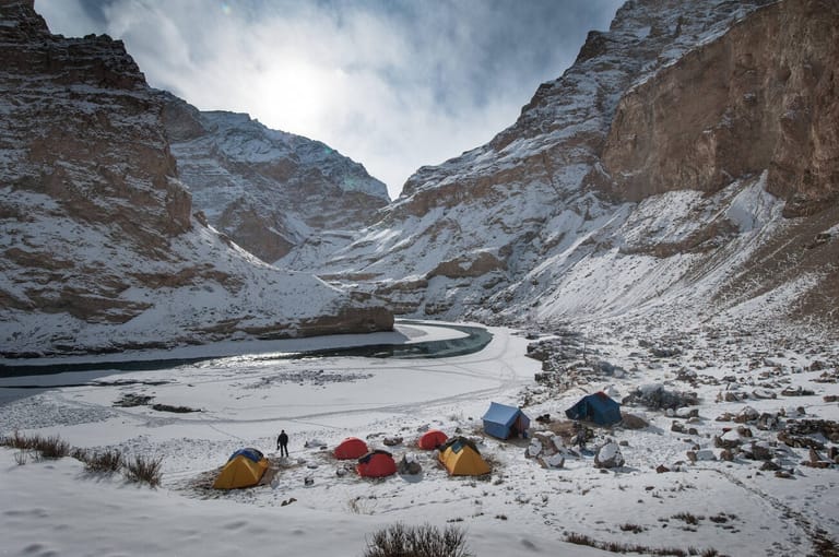
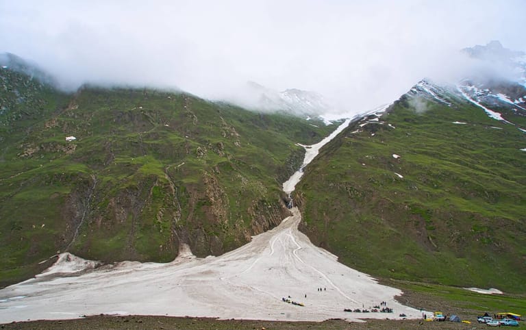
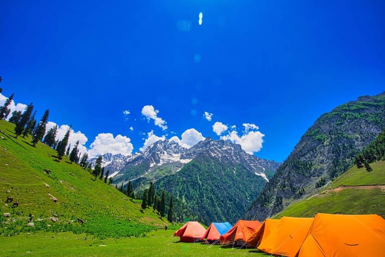
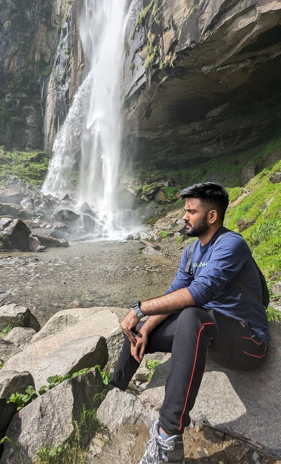
The Rohil Basmai Valley Trek is a versatile trek in Kashmir because it shows something unexpected in every part of the journey. The trails are isolated with extremely beautiful nature. Check the boulder section and an alpine lake emerging out of the glacier filled mountain peaks with our exciting kashmir travel packages.The Rohil Basmai Valley Trek in Kashmir is yet another revelation. With the exception of the locals, this trail is a first for the trekking enthusiasts. The route is versatile since it unveils something unexpected at every point. There are plenty of things to do in kashmir.
The most amazing thing you’ll notice in this trail is its isolated nature. It’s hard to find traces of human life in this region. With the exception of the Gujjars and Bakarwals, it’s just you and the mountains. If you wish to visit Kashmir in summers, then do check the best places to visit in summers.
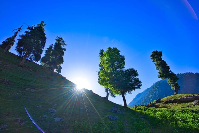
Rohil valley is wide and picturesque but the Basmai valley is narrower. But both of them are equally spectacular.
Best Time to do Basmai Valley Trek
For adventure seekers, the best time to visit Basmai Pass Trek in Kashmir is March to October. You may also check Kashmir travel tips for an amazing experience.How To Reach Basmai Pass Basecamp ?
People always look for offbeat places to visit like this. The trail starts from Sindh river to Lidder river makes this trek interesting. The lush and large meadows are the highlight of this trek which starts from Gagangir, falls 70 km off Srinagar. Just beside the Sindh river is the trail going into the jungle and leading to Basmai Pass.Key Points of Rohil Basmai Valley Trek
- Moderate difficulty level of Basmai Valley trek route.
- Proper conditioning & training of the body is required.
- Need proper gear & clothing for sub-zero temperature.
- Shoes are the single most important equipment.
- High Altitude requires proper acclimatisation.
- Winter & Post monsoon or pre-monsoon is the best time. During rains the region is prone to landslides.
- Beautiful landscapes so carry good photo gear & Extra battery backup.
- Travel light or Torch.
- The backpack should not exceed 10 kgs to ensure a smooth transition.
Short Itinerary of Rohil Basmai Valley Trek in Kashmir.
Enchanting the joy of trekking in Kashmir, which is characterised by acres and acres of valleys carpeted by grasslands.
The white mountain streams cascading from the glaciers is a sight to behold. In this trail, you get to trek along a terrain where mountain streams merge, before they gather momentum to transform into rivers.
Experience the thrill of Basmai Valley Trek Jammu & Kashmir region where it is difficult to trace human life. Due to its isolated nature, this trail is perfect for trekkers seeking solitude.
Day 0: Getting to the base camp – Aru
Aru is 12 km away from Pahalgam which is about 100 km from Srinagar. Pahalgam is a more familiar place around Srinagar so if you are reaching on your own, take a shared vehicle from Srinagar to Pahalgam that will take about 3 hours to get there. Many a travellers also check wildlife sanctuaries in Kashmir.
Aru is right across the Lidder River from Pahalgam and it takes another half an hour to cover this distance. Today, after a 4 hour drive from Srinagar you reach Aru by evening. There are plenty of places to stay at Aru, though they are a tad expensive.
Day 1: Trek from Aru to Lidderwat
Altitude: 7958 feet to 9131 feet
Distance: 10 kms
Time taken: 6 hours
Trail type: Gently climbing long trail
This is a gentle yet long climb from Aru to Lidderwat covering a distance of 10 km in 6 hours. The trail to Lidderwat starts to climb straight out of the village, following the course of the Lidder River. Look back to take a commanding view of the entire region of Aru. Half an hour later, the trail pops out at a clearing called Dalla near Gujjar huts.
Out of the pine trees, the trail gently climbs a mound, from the top of which is one of the most fascinating sceneries of the day. The Lidder River meets with the trail at the valley bottom, spreading out in springs. Next to the river are grassy glades where the trail runs and takes about half an hour to cross this lovely section of the trail and enter the cluster of firs once again. There are a few Gujjar huts that signal Lidderwat.
A sensible option is to drop down to the wooden bridge, climb out of the meadows on the other side and camp anywhere. On the other side there are lovely clear streams running across the meadows.
Day 2: Trek from Lidderwat to Satlunjan
Altitude: 9,131 feet to 10,500 feet
Distance: 5 kms
Time taken: 4.5 hours
Trail type: Plain walk with intermittent moderate climbs. Last patch is a steep climb
It is a twenty minute hike to the first set of Gujjar huts, an extension of Lidderwat. Cross the mountain streams and the Gujjar huts. A bigger, beautiful village emerges on the left side of the river. This is Khalan. The other side of the village is Susrin. Climb upto the top of the village to bask in the beauty of Susrin Lake. The beauty is one of the most photographed places in the world.
From Khalan to Satlunjan, the 1.5 hour journey is there. The trail also winds along the river. Satlunjan is a big Gujjar village, which houses 15 huts. Satlunjan literally translates to ‘Seven Bridges’, which denotes the 7 bridges to cross 7 mountain streams. From Satlunjan, the climb towards Rohil Valley is sheer. It usually takes an hour to reach the top of the valley, which has a few more Gujjar huts. Camp here for the night.
Day 3: Trek from Satlunjan to Sonasar Lake (Basmai)
Altitude: 10,500 feet to 12,457 feet
Distance: 4.5 kms
Time taken: 5 hours
Trail type: Boulders, grasslands, mountain streams and alpine lakes
The climb to Basmai Valley is moderate to steep right from the outset. Pace yourself well, the climb is taxing.
Continue hiking up the trail. It’ll take you 1.5 hours to reach a boulder. Cross the boulder section and the beautiful, broad Basmai Valley will be in front of you. From the boulder, descend down to the Bakarwal hut beside the river.
From the river, it’s a gentle climb from the right side of the river until you reach the boulder patch. Cross over to the other side of the river. Post your crossover, it’s a moderate climb all the way to Sonasar. The alpine lake emerges as a surprise element. There are other lakes in Kashmir.
Day 4: Trek from Sonasar Lake to Handilsar Lake
Altitude: 12,457 feet to 12,103 feet
Distance: 7.5 kms
Time taken: 6 hours
Trail type: Grasslands, mountain streams, boulders, snow patches and alpine lakes
You shift your campsite from Sonasar Lake in Basmai to Handilsar Lake. From Sonasar Lake, it takes approximately 2.5 hours to retrace your steps and head back to Satlunjan. There are also mouth watering Kashmir food which people crave for.
Take the road diverging on your right to reach Rohil Top. It’s a gradual climb to the first lake, Tsangsar. It will take you 45 minutes to reach this spot from Satlunjan. The next half an hour is a flat walk, from Tsangsar lake to Sunpatri.
This is a good spot to take a breather. From Tsangar, it’s a decent climb for one hour to reach Handilsar lake. Camp here for the night. While camping near an alpine lake will give you an amazing experience. The night sky is overwhelmingly beautiful.
Day 4: Trek from Handilsar Lake to Rohil Top; trek back to Satlunjan.
Altitude: 12,103 feet to 13,000 feet; Descend from 13,000 feet to 10,700 feet
Distance: 6.5 kms
Time taken: 6 hours
Trail type: Meadows, boulders and alpine lake
It’s a moderate climb again to Rohil Top via Hapatsar Lake. It’s a 45 minute hike to the lake. Above Hapatsar, the snow patches are bountiful. They feed this alpine lake.
The climb to Rohil Top is moderate and it’s the highest altitude of the trek at 13,000 feet. The Rohil Nala flows to the left side of the trail. The Rohil valley is narrow in comparison to the Basmai Valley but is more beautiful.
Day 5: Trek from Satlunjan to Aru
Altitude: 10,700 feet to 7958
Distance: 14 kms
Time taken: Around 6 hours
Trail type: Grasslands and mountain streams
This is considered as the longest day of the entire Rohil Basmai valley trek. However, the trail does not pose too many challenges. You will be trekking along lush grasslands that wind through broad-open valleys which are covered with trees. The route has so many mountain streams.
The milky white stream water is fresh and rejuvenating. It’s important that you take short five-minute breaks and hydrate yourself well. It is a gentle climb. If you get off to an early start, you will reach Aru early.
How Difficult is the Rohil Basmai Valley Trek ?
The Rohil Basmai Valley trek is a trek of moderate difficulty. The numerous mountain stream crossings along the trail need to be negotiated with care. Use the human chain method to cross them. A physically active child above the age of 15 can do this trek.
The Rohil Basmai Valley trek does not pose any threats by itself. Although some trekkers have concerns about the safety of trekking in Kashmir. As troubled as the state might seem, it is relatively safe to trek in the Kashmir valley, as long as you’re cautious and know where to go.
However, trekkers should be aware of the dog attacks. The Gujjars and Bakarwals have dogs that are aggressive.
They are known to attack trespassers. It’s advisable to trek in a group of atleast 3 to 4. It’s highly recommended that you carry two trekking poles, which will double up as your line of defense in case you’re attacked by a dog. If you’re trekking in a group, have your backs to each other.
If you do not have a trekking pole, make do with a stick. The dogs in this trail are known to sneak up on you. Be on the lookout. If you come face to face with a dog, do not run. They will eventually run you down. Stay put and face them. Use the trekking pole/stick to scare them off. Hitting them or throwing stones at them is not a good idea. It will only aggravate them further.
Mandatory Personal Medical Kit to Carry
- Crocin – 6 tablets (fever)
- Avomine – 4 tablets (motion sickness)
- Avil 25mg – 4 tablets (allergies)
- Combiflam – 4 tablets (Pain killer)
- Disprin – 6 tablets (headache)
- Norflox TZ & Lomofen– 6 tablets each (diarrhea)
- Digene – 10 tablets
- Omez/ Rantadine – 10 tablets
- Crepe bandage – 3 to 5 meters
- Gauze – 2-3 small rolls
- Band aid – 10 strips
- Cotton – 2-3 small rolls
- ORS – 10 packets
- Betadine or any antiseptic cream
- Moov spray
What are the risks involved while trekking ?
The Rohil Basmai Valley trek has only one threat. The Gujjars and Bakarwals have aggressive dogs. They are known to attack trespassers. It’s advisable to trek in a group of at least 3 to 4. It’s highly suggested that you carry two trekking poles, which will double up your defence in case you’re attacked by a dog. If you’re trekking in a group, have your backs to each other.
If you do not have a trekking pole, do carry a stick. If you come face to face with a dog, do not run. They will eventually run you down. Stay put and face them. Use the trekking pole/stick to scare them off. Don’t hit stones at them.
The Rohil Basmai Valley trek does not involve any technical sections that require special skills . In this trek, you’ll be trekking up to an altitude of 13000 feet.


